
The Western Ghats
-
The Western Ghats are a range of mountains running north to south along India's western edge, parallel to the Arabian Sea's Malabar Coast. They are rich in biodiversity and a UNESCO World Heritage site, and they influence India's monsoon weather. Several national parks and wildlife sanctuaries along the Western Ghats in Karnataka, Tamil Nadu, and Kerala are crucial for conservation efforts and maintaining ecological balance. The Western Ghats are the source of major rivers like the Krishna, Godavari, and Kaveri.
-
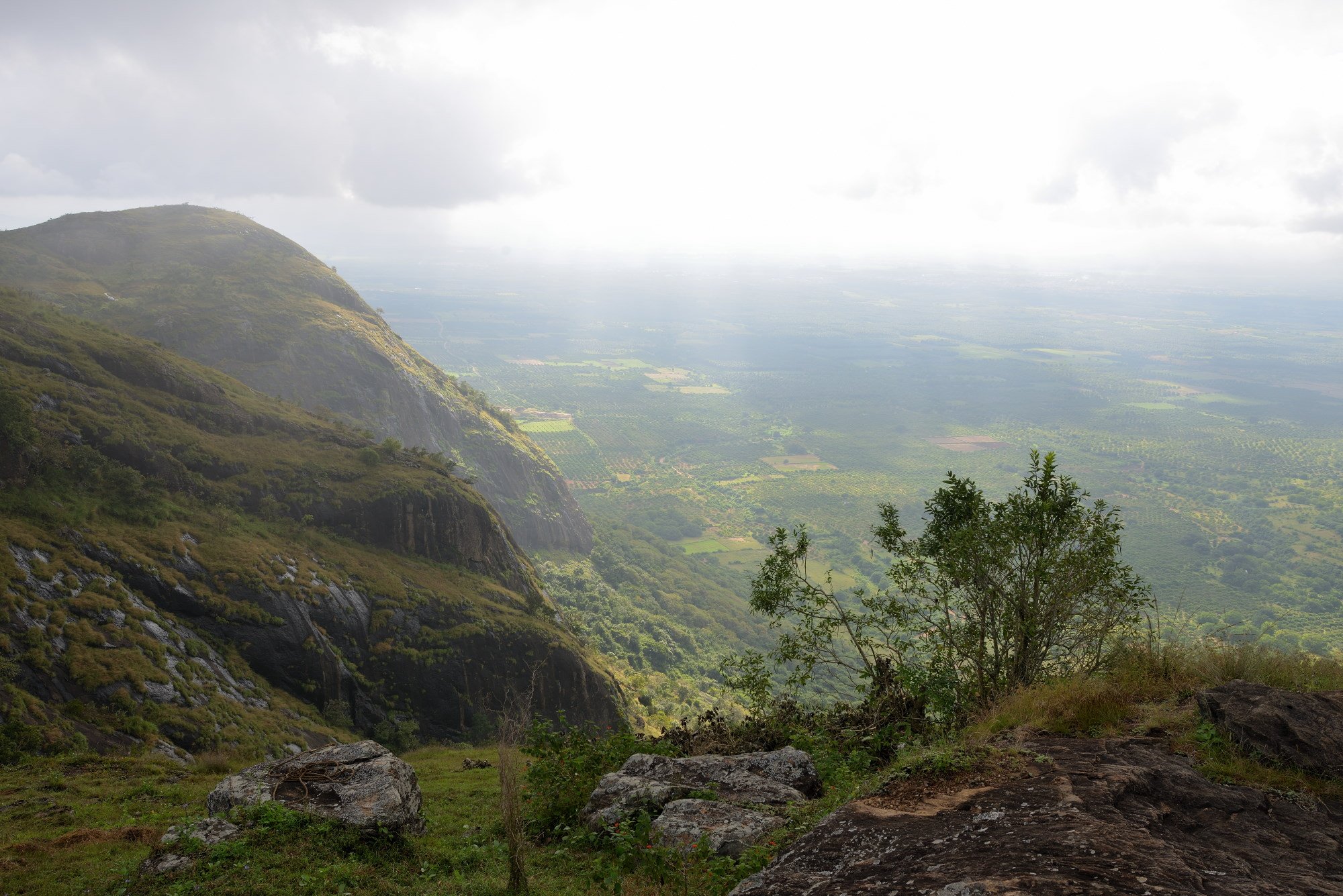
The Western Ghats rise sharply from the Arabian Sea's coastal plain, with steep slopes and deep valleys. Moving inland towards the Deccan Plateau, the slopes become gentler, forming broad valleys. The Western Ghats extend from the Tapti River in the north to Cape Comorin in the south, with varying elevations. Notable peaks include Doda Betta (2,637 metres) in the Nilgiri Hills and Anai Peak in the Anaimalai, Palni, and Cardamom hills. The region's diverse ecosystems range from wet evergreen forests to montane grasslands, supporting many plant and animal species, including tigers and Asian elephants.
-
The Western Ghats influence India's climate by trapping moisture from the Arabian Sea winds, creating a tropical monsoon climate along the coast while limiting rainfall in the Deccan plateau. This dynamic results in a unique monsoon system, with winds piling up against the mountains before cascading inland.
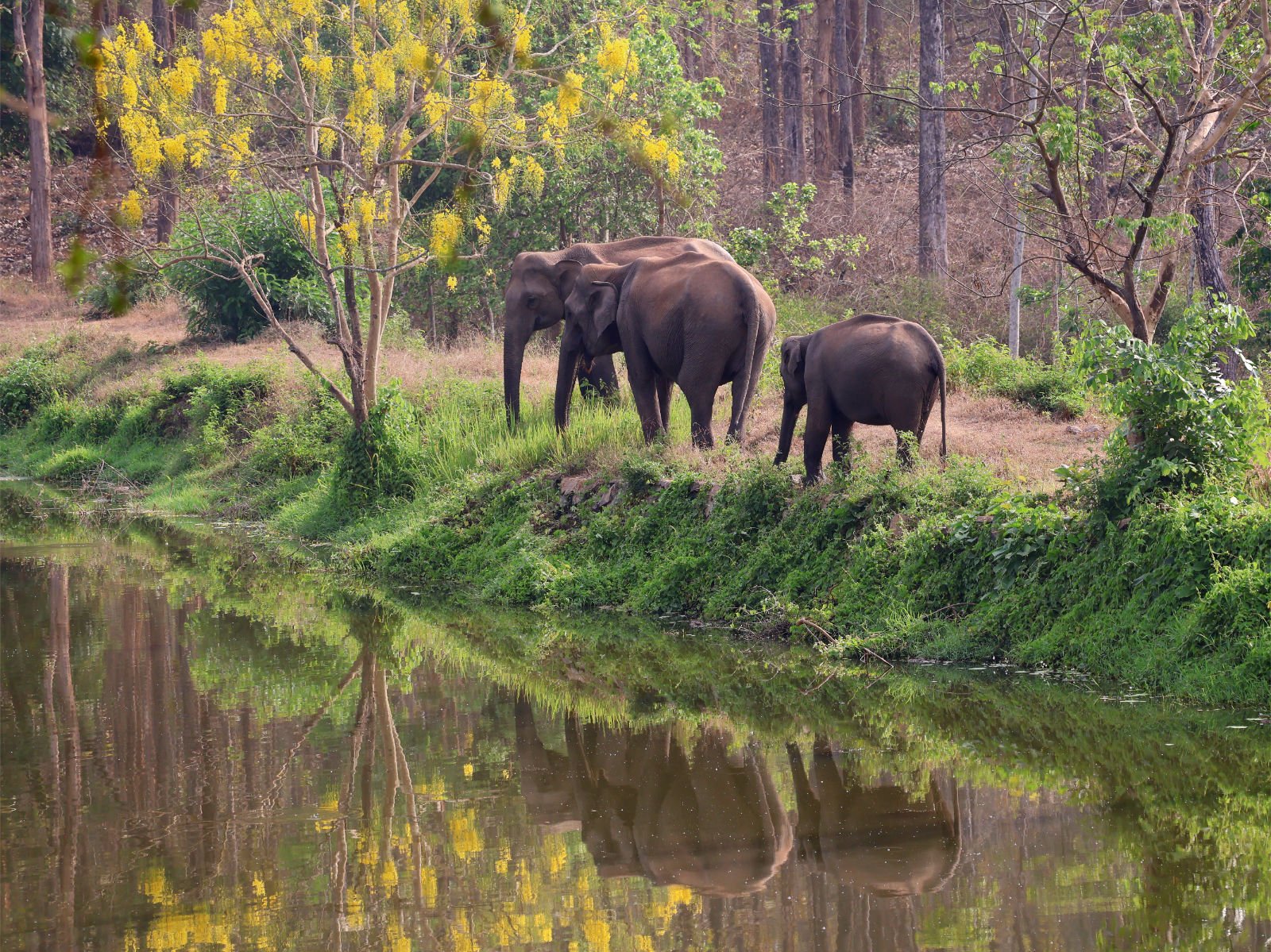
Nagarhole National Park lies west of the Kabini River, spanning 643 square kilometres. Its lush forests are home to diverse wildlife, including tigers, leopards, elephants, and over 300 species of birds. The Kabini Reservoir, formed by the Kabini River, is a vital water source for the park's inhabitants. Wildlife congregates here, providing excellent viewing opportunities. The Jenu Kuruba people, the park's original inhabitants, still reside here despite the government's attempts to relocate them. These forests were once the private hunting grounds of the Mysuru Maharaja but now offer premier wildlife lodges, making the area a top destination for nature enthusiasts in southern India.
Nagarhole
Kodagu (Coorg)
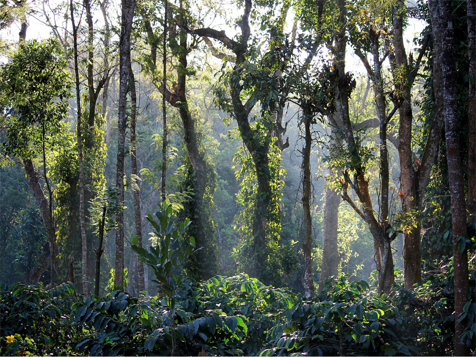
Kodagu, a district in southwestern Karnataka, is characterised by rugged hills and abundant rainfall. Rising over 1,500 meters from the Deccan Plateau, forested hills dominate its landscape. The upper Kaveri River and its tributaries drain Kodagu and sustain its agriculture. Rice cultivation thrives in the valleys, while coffee is a prominent crop on the hillsides. Tea, cardamom, rubber, pepper, and millet are also cultivated here. Oranges are grown in the southern region, while evergreen forests cover the western areas. Historically, Kodagu was an independent kingdom governed by the Kodava community until British colonisation in 1834. It became part of British India and eventually merged with Karnataka in 1953.

Bandipur National Park in Karnataka, India, covers 868.63 square km and was set up to protect tigers in 1973. It became part of the Nilgiri Biosphere Reserve in 1986. The park sits where the Deccan Plateau meets the Western Ghats, with altitudes varying from 680 m to 1,454 m. This mix creates different habitats, including dry and moist forests. Rivers like Kabini, Moyar, and Nugu flow through it. There's a Hindu temple atop the highest hill, Himavad Gopalaswamy Betta. Bandipur has a tropical climate with dry and wet seasons. It's home to elephants, tigers, sloth bears, and various tree species like teak, sandalwood and clumping bamboo.
Bandipur
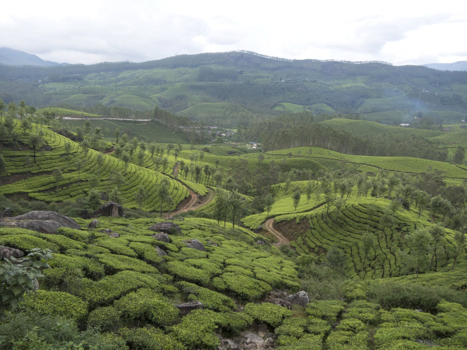
Munnar
Densely forested and hilly, Munnar's inaccessibility to southern Indian kings has been home to Adivasi tribes like Malayarayan and Muthuvan for centuries. Arthur Wellesley passed through during Tippu Sultan's campaign and the British surveyed it in 1816 for a hill station retreat. Europeans established tea plantations by the late 19th century. Munnar thrived as a hill station with a railway connection until floods destroyed it in 1924. Post-independence, Tata Company manage 57,000 acres of tea estates here. The Tamil-speaking Dalit workforce's social and economic well-being has in recent decades been impacted by global economic shifts in the tea production industry.

Periyar National Park lies in the Cardamom Hills and is home to various landscapes like forests, grasslands, and wetlands. It's where Kerala's important rivers, the Periyar and Pamba, originate. The park hosts many plant species, including 171 types of grass and 140 orchid species. These grasses support diverse wildlife, including elephants, deer, and wild boar. Herbivores like sambar deer, Asian elephants, and gaur are common here. With its diverse habitats, from forests to grasslands, Periyar National Park plays a crucial role in India's conservation efforts.